Holly Gilvary
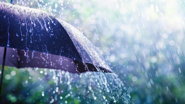
RACINE — While a narrow swath of heavy rainfall Tuesday night that spanned from Lake Geneva to Racine left significantly more rain locally compared to the rest of Southeast Wisconsin, Racinians can expect a drier end to their week.
The greater Racine area received 2.5 to 3 inches of rain Tuesday night into early Wednesday morning, compared to about 1.7 inches in Burlington and half an inch in Kenosha and Milwaukee, according to the National Weather Service.
NWS Meteorologist Marcia Cronce said "repeated rounds of individual cells of storms" caused the band of heavier precipitation.
"This fairly typical," she said. "We call it (thunderstorm) convection. You always get localized areas of higher versus lower precipitation. It just depends on where the storms track."
A light snow and rain mix was expected for Wednesday evening in Racine, according to Cronce.
Another round of light rain with a possible snow mixture is forecast for Racine on Thursday evening, Cronce said. Friday will be windy, but dry.


No comments:
Post a Comment